Thinking about buying or selling land in Bristol’s 04539? The fine print matters. Easements, access, and surveys can decide whether a parcel is buildable, financeable, and right for your goals. You want clarity before you invest time and money, and you deserve a clear plan. This guide walks you through what due diligence looks like in Bristol, the questions to ask, typical timelines and costs, and where to start locally. Let’s dive in.
What land due diligence covers in Bristol
Bristol and the surrounding Midcoast are a mix of rural and coastal parcels. Many lots involve private roads, wells and septic, and sometimes conservation interests. Due diligence here focuses on three pillars:
- Easements and encumbrances that affect use and value
- Legal and physical access that lenders and the town will accept
- Surveys that confirm boundaries, setbacks, and constraints
Layer in shoreland zoning, wetlands, and frontage rules, and you have a checklist that rewards a thorough approach.
Easements: what to look for
Common easement types in Maine
- Recorded easements. Typical examples are ingress and egress rights-of-way, utility corridors, or shared driveway agreements. These run with the land and bind future owners.
- Conservation easements. Perpetual restrictions held by a land trust or government. They can limit construction, vegetation removal, subdivision, and sometimes allow managed public access.
- Prescriptive easements. Long, open, continuous use over time can create rights even without a recorded document. This can surprise new owners if a neighbor has used a path or road for years.
- Implied or necessity easements. Courts may recognize access if a parcel would otherwise be landlocked. These are less predictable than a recorded right.
How you find them
- Deeds and title records at the Lincoln County Registry of Deeds
- Subdivision plans and plats that show rights-of-way and utility corridors
- Town tax maps or GIS that identify public and private roads
- Field clues like driveways, old tracks, stone walls, and utility poles
- Conservation organization records if a conservation easement exists
Red flags to avoid
- No recorded access for an interior lot
- Conflicting deed language, maps, or plans
- Shared driveways with no maintenance terms
- Shoreland or conservation restrictions that narrow your build area
How to resolve issues
- Negotiate and record a clear access or maintenance agreement
- Ask your title company or attorney about title insurance coverage for easement risks
- Consider legal actions that clarify rights if records are unclear
Access: legal vs usable
Legal access vs on-the-ground access
- Legal access means frontage on a public road or a recorded right-of-way. Lenders and the town typically require this.
- Usable access means you can actually get there year-round. Narrow, steep, or poorly maintained private roads may not meet standards for permits or emergency vehicles.
Driveway and curb-cut permits
- Access onto town roads often needs a town driveway permit. Access onto state-numbered roads often needs a MaineDOT permit.
- You may need a basic plan that shows the entrance, culvert, and drainage. Erosion control and sight-distance notes are common.
Utilities and serviceability
- Electric. Contact the local provider to confirm service and any pole or line extension costs.
- Water. Most rural parcels use private wells. Plan for feasibility and a water quality test.
- Sewer. Many lots require an on-site septic system. A site evaluation by a licensed soil evaluator will confirm capacity and a reserve area.
- Broadband and phone. Availability varies by road. Confirm by address during due diligence.
Septic and well feasibility
- Order a percolation test or full site evaluation for septic. Tight soils, ledge, wetlands, or shoreland buffers can limit your design.
- Keep a backup area for septic if required by local rules.
Local scenarios to double-check
- Interior lots reached by long shared private roads. Verify the recorded right-of-way and who pays to maintain it.
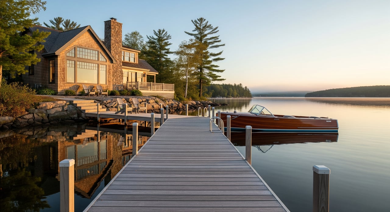
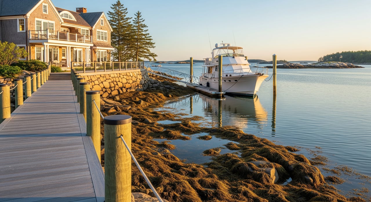
- Waterfront lots. Expect shoreland zoning setbacks and possible conservation interests that shape where you can build.
- Seasonal roads. Confirm winter access and emergency service standards before you close.
Surveys: types, timing, and cost
Survey types you’ll see
- Boundary survey. Confirms lines and corners. Ideal for undeveloped land or when markers are missing.
- ALTA/NSPS Land Title Survey. A lender-grade survey that maps easements, improvements, and other title elements.
- Topographic survey. Shows grades, contours, and natural features. Useful for siting a home, driveway, and septic.
- Subdivision or lot-line adjustment survey. Required if you plan to divide land or adjust boundaries.
When to order a survey
Your lender requires it or the existing survey is outdated
You plan new construction or a substantial improvement
Monuments are missing or deeds conflict
You need to verify easements, setbacks, and shoreland compliance
Typical costs and timelines in Maine
- Boundary survey for a small, straightforward lot: about 1,000 to 3,000 dollars
- Rural or complex parcels: about 2,500 to 8,000 dollars or more
- ALTA/NSPS surveys: about 2,500 to 10,000 dollars depending on size and complexity
- Timeframe: scheduling can take days to weeks; fieldwork and drafting often take 1 to 6 weeks, longer in winter or busy seasons
How to read and use the survey
- Review bearings and distances, monuments, legal description, and any noted easements or setbacks
- Confirm if corners were found or re-established, and ask for documentation if needed
- If the survey and deed do not match, speak with your surveyor and a real estate attorney about options such as boundary agreements or corrective deeds
Title, records, and local rules
Title and insurance
- A title search will surface recorded easements, liens, covenants, and plats
- Ask for a title commitment and confirm if the policy addresses easement risks
- If there are gaps or unrecorded uses, discuss endorsements and exclusions before you close
Local land-use considerations
- Shoreland zoning and wetlands can control where and how you build
- Septic capacity, lot-size, and frontage rules shape development potential
- Subdivision road standards and driveway permits can affect costs and timelines
- Start with the Town of Bristol Code Enforcement Officer and Planning Board for current requirements, and consult the Maine DEP for shoreland and wetlands guidance
Buyer checklist for 04539 parcels
- Get a preliminary title search to identify easements and liens
- Order a current boundary survey, or an ALTA survey if a lender requests it
- Confirm legal access by frontage or a recorded right-of-way
- Speak with Town of Bristol about zoning, frontage, setbacks, and road status
- Order a septic site evaluation and confirm well feasibility
- Check for shoreland, wetlands, and other environmental limits
- Verify electric and communications availability and extension costs
- Ask about any conservation easements that may apply
- Walk the property for visible encroachments, old markers, and utilities
- Secure a title insurance commitment and match it to survey findings
Timeline and budget snapshot
- Week 0: Sign a purchase agreement with contingencies for title, survey, septic, and access
- Weeks 1–3: Title commitment, town checks, order survey and septic evaluation
- Weeks 2–6: Fieldwork for survey and septic; utility confirmations
- Weeks 4–8: Final survey and title policy; resolve easement or access issues before closing
- Budget: plan for survey and soil evaluation costs, potential driveway permitting and culvert work, and any title endorsements your lender requests
How HARVEY supports your due diligence
You want a clean path to closing, with confident answers and no surprises. With deep local expertise in Midcoast land and coastal parcels, you get guidance that blends development know-how with careful transaction management. From coordinating your survey and septic evaluation to reviewing access language and title commitments, you have a steady hand through each step.
If you are weighing a 04539 lot or preparing to list land in Bristol, connect for a focused plan that fits your goals. Let’s talk strategy, timelines, and the right sequence of checks to protect your investment. Reach out to Colin Harvey to get started.
FAQs
What is a recorded right-of-way and why does it matter in Bristol?
- A recorded right-of-way is a written access easement in the deed records that lets you legally cross another parcel; lenders and the town typically require this for permits and financing.
How do I know if a conservation easement limits my Bristol lot?
- Ask your title company to search deed records, review any referenced plans, and contact conservation organizations that may hold easements on nearby parcels.
Do I need a new survey if the seller has an old one?
- If the survey is outdated or does not match current title requirements, ordering a new boundary or ALTA survey helps confirm corners, setbacks, and easements.
Who maintains a shared private road in 04539?
- Check the recorded easement or road agreement for maintenance and cost-sharing terms; if none exist, negotiate and record a clear agreement before closing.
What septic steps should I take before buying land in Bristol?
- Hire a licensed soil evaluator for a site evaluation or perc test to confirm system location, capacity, and a reserve area consistent with local and shoreland rules.
Can I get a driveway permit onto a state-numbered road in Bristol?
- Driveways onto state-numbered roads typically require a MaineDOT permit; town roads usually require a town driveway permit with basic design and drainage details.