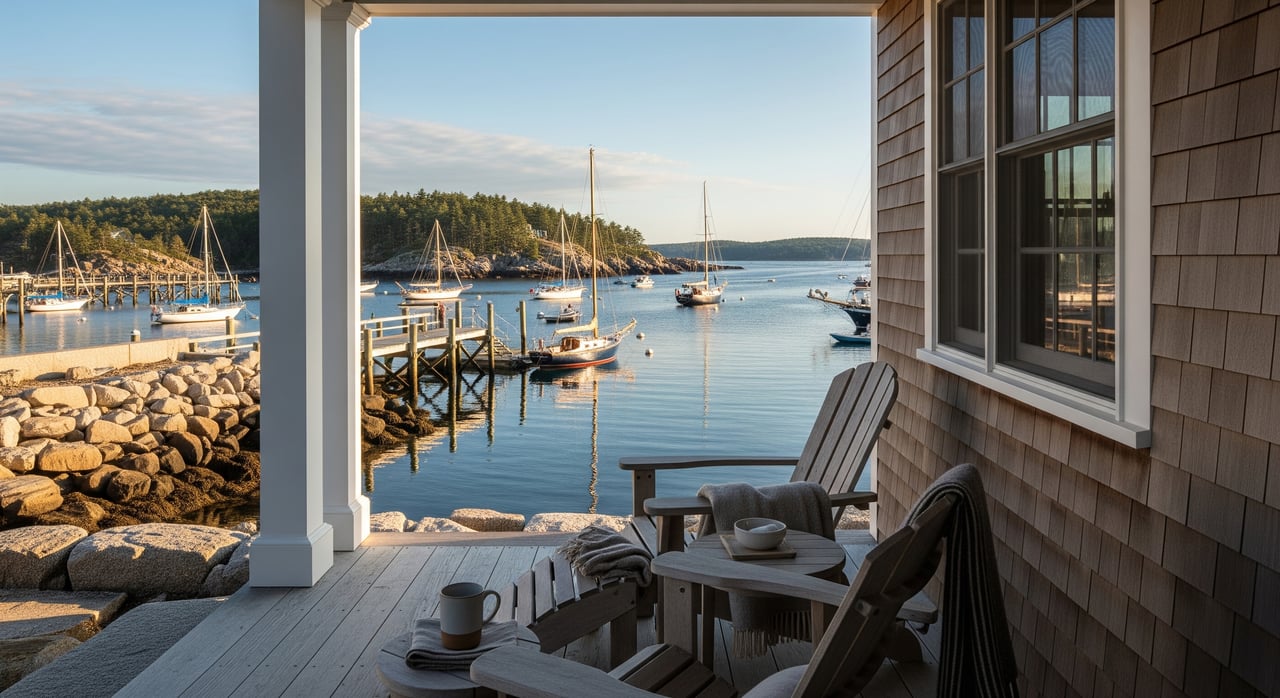
You picture morning light over the Kennebec, salt air on the porch, and a home that feels tailored to this stretch of Maine coast. If you are planning a new build or a major renovation in Phippsburg, it pays to get the details right from the start. Shoreland rules, flood maps, dunes, septic, wells, and access all shape what you can do on a coastal lot. This guide gives you a clear plan, from permits to design choices, so you can move forward with confidence. Let’s dive in.
Why coastal builds here are different
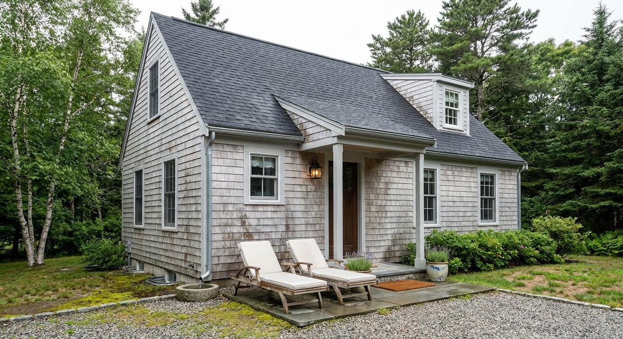
Phippsburg sits on a narrow peninsula south of Bath, with open-ocean beaches, dunes, tidal marsh, and working waterfronts. That mix creates a rare lifestyle and also unique site conditions. Some parcels face direct wave energy, while others are tucked along coves or rivers.
Flood exposure varies lot by lot. Town flood maps and FEMA’s Flood Insurance Rate Maps identify A, AE, AO, and VE zones. In VE zones and coastal A areas, wave action and elevation standards shape foundation choices and cost. To understand your property’s risk, review the town’s Floodplain Management Ordinance and confirm your parcel on the FEMA Flood Map Service Center.
Long-range planning matters too. The state is modeling coastal flood risk and has identified parts of Route 209 as vulnerable. That can influence access, drainage, and scheduling for future improvements. To see how Maine is planning for adaptation, review MaineDOT’s climate initiative and adaptation work.
Know your rules: town, state, and FEMA
Town permits and shoreland rules
Your first call is the Phippsburg Code Enforcement Officer. The CEO can confirm whether your lot sits in the shoreland zone, what local districts apply, and which applications you need. Start with the town’s Codes page for contacts and forms.
Phippsburg enforces a Shoreland Zoning Ordinance that sets setbacks, clearing limits, and district rules near tidal waters and coastal wetlands. Read the town’s Shoreland Zoning Ordinance and ask the CEO to point you to the correct map sheet for your lot. The town also administers a two-part flood permit process and requires Elevation Certificates in mapped flood zones under the Floodplain Management Ordinance.
State review: shoreland zoning, NRPA, and dunes
Maine requires municipalities to administer shoreland zoning, typically within 250 feet of tidal waters. Review the state’s overview of Mandatory Shoreland Zoning to understand how local districts are set and applied.
If your work touches coastal wetlands, beaches, dunes, or certain bluff areas, you will likely need a Maine DEP permit under the Natural Resources Protection Act. Some limited activities may qualify for permit-by-rule if you meet strict standards. Start with DEP’s NRPA permitting page and plan a pre-application chat with DEP staff for any coastal project.
FEMA mapping and construction standards
FEMA flood maps and NFIP standards drive minimum elevation and foundation requirements. Coastal V and some coastal A zones call for open pile or pier foundations and breakaway walls below the design flood elevation. Use the FEMA Map Service Center to confirm your site’s flood zone, Base Flood Elevation, and any Letters of Map Change, then verify details with the CEO.
Site and design choices that pay off
Elevation, freeboard, and foundations
Elevation is often the single best investment for coastal resilience. Communities and FEMA guidance recommend building at or, better, above the Base Flood Elevation. In many coastal settings, adding 1 to 3 feet of freeboard reduces lifetime flood risk and can lower insurance costs. In VE and some coastal A zones, expect to use open foundations on piles or piers with breakaway walls below the lowest floor. Your architect and engineer will coordinate with the CEO to document these choices during permitting.
Septic and wells
Most coastal parcels in Phippsburg rely on on-site systems. A State-licensed Site Evaluator will dig test pits, log soils, and prepare the HHE-200 septic design. On shallow or ledgy sites, an engineered system may be required. Find guidance and license-holder resources through Maine CDC’s Subsurface Wastewater Licensing and Certification.
Many properties use private wells. Plan to test for bacteria, nitrate, and common inorganics like arsenic. On low coastal sites, account for the risk of saltwater intrusion when you place a well. Maine CDC’s Drinking Water Program outlines best practices in its Private Water Well facts.
Materials and corrosion
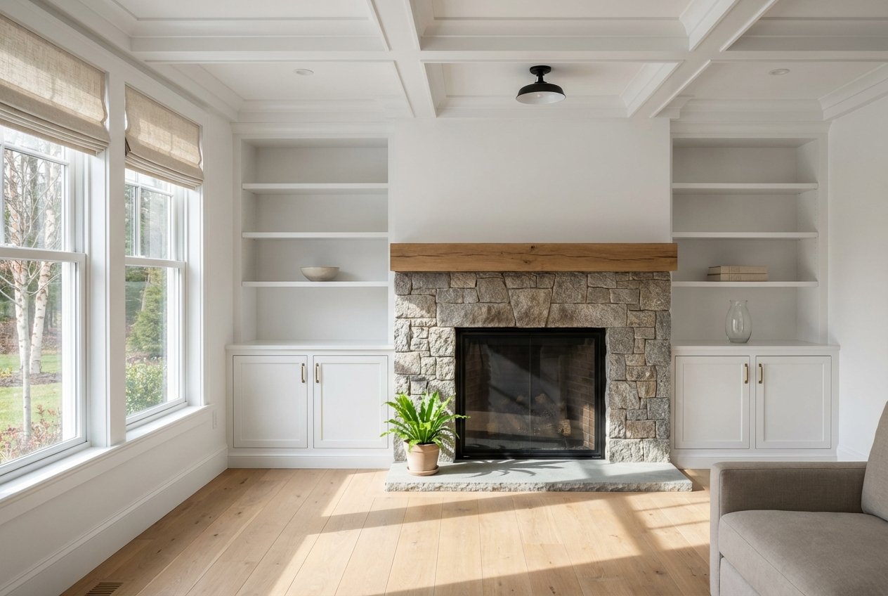
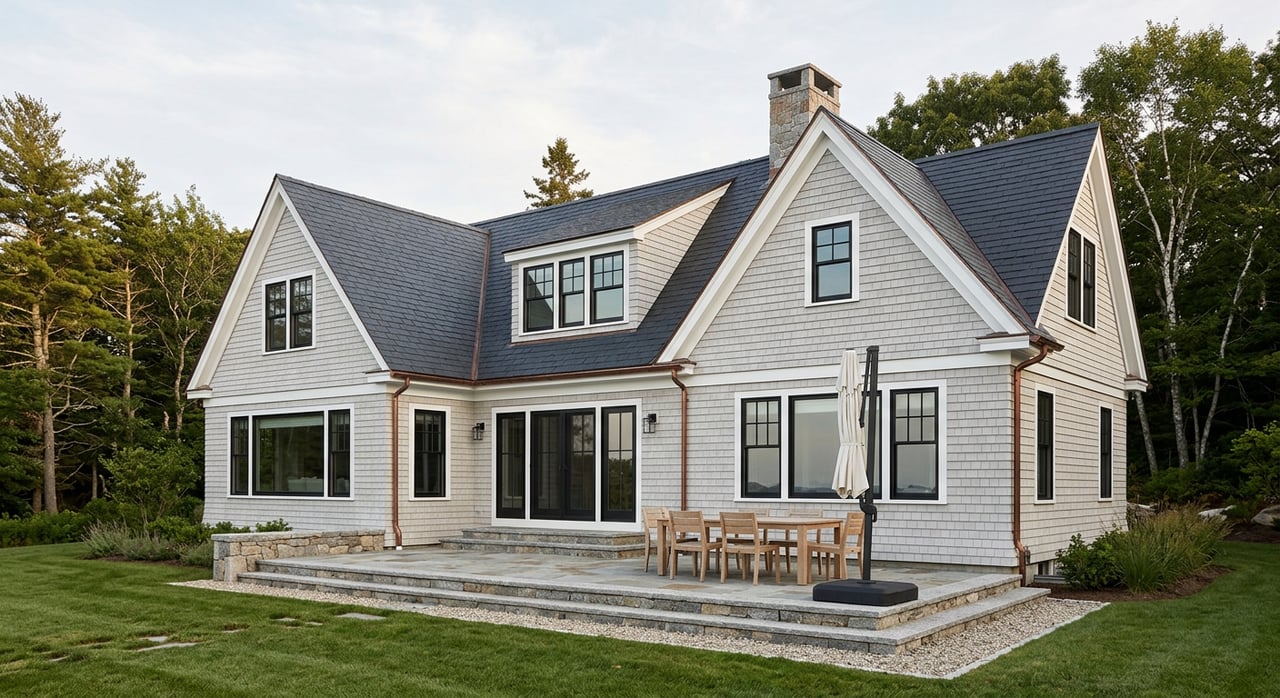
Salt air accelerates wear on metals and finishes. Specify marine-grade or coated fasteners and connectors, fiber-cement or similarly durable siding, and sealed penetrations. Keep all mechanical and electrical systems above the design flood elevation. Build a maintenance plan into your design so routine care is budgeted and scheduled from day one.
Shoreline stewardship: living over armoring
Where wave energy and habitat allow, nature-based techniques can stabilize a shoreline while supporting coastal ecology. Maine DEP promotes buffers, native plantings, and dune revegetation in the right contexts. Before you assume a hard structure is the answer, study soft alternatives and talk with the town and DEP about feasibility. Start with DEP’s practical guidance in OUR SHORE and coordinate with a coastal ecologist if dune or living-shoreline work is in play.
Access, utilities, and insurance
Roads, driveways, and drainage
Access is critical on a narrow peninsula. Sections of Route 209 are identified as vulnerable to coastal flooding, which makes driveway elevations, culverts, and drainage design important. Early coordination reduces surprises and can prevent permit delays, especially if upgrades touch public ways or tidal areas. For state context, see MaineDOT’s adaptation work.
Flood insurance and lending
If your property is in a Special Flood Hazard Area and you use a regulated lender, flood insurance is typically required. An Elevation Certificate and your final foundation type drive coverage options and price. Involve an insurance broker early to model premiums at different elevation scenarios and to understand how freeboard can improve your long-term costs. FEMA’s maps and the town’s flood permit process both rely on accurate elevation documentation from a licensed surveyor.
Your path from idea to keys
- Do early checks and call the CEO.
- Look up your parcel on the FEMA Map Service Center.
- Contact the town’s Code Office to confirm shoreland and flood zones and to request the right application packets via the Phippsburg Codes page.
- Test soils and plan septic and well.
- Hire a State-licensed Site Evaluator to complete soils work and an HHE-200 septic design using state guidance and resources.
- For private wells, follow the Drinking Water Program’s well facts for siting and testing.
- Engage the right design team.
- Choose an architect with coastal experience and a structural or coastal engineer for foundations in VE or coastal A zones.
- If dune, bluff, or tidal habitat is a factor, add a coastal ecologist who knows DEP’s OUR SHORE techniques.
- Sequence permits in the right order.
- Secure municipal building and floodplain permits first. The Floodplain Management Ordinance outlines two-part flood permits and Elevation Certificates.
- If work affects coastal wetlands, dunes, or tidal areas, file with DEP under NRPA. Some limited actions may qualify for permit-by-rule.
- Build with documentation and inspections in mind.
- Plan for surveyor elevation checks at set stages, municipal inspections, and any DEP conditions.
- Keep your insurance broker and lender updated as foundation and elevation choices are finalized.
Buyer pre-purchase checklist for 04562
- Run a flood map lookup for the exact parcel on the FEMA Map Service Center and ask the seller for any Elevation Certificate on file.
- Request copies of septic designs, HHE-200 forms, well test results, and any DEP permits.
- Before you commit, have a Licensed Site Evaluator complete soils testing and a preliminary septic layout using state resources.
- Call the Phippsburg CEO early via the Codes page to confirm shoreland districts, setbacks, and required town permits.
- Ask an insurance broker for written flood premium estimates under different elevation and foundation scenarios.
Common surprises to plan for
- Substantial improvement thresholds. Renovations that reach about 50 percent of market value can trigger full compliance with current flood standards. Review how Phippsburg applies this in its Floodplain Management Ordinance and verify with the CEO.
- Dune and beach protection. Even well-meaning “restoration” on dunes often needs DEP review under NRPA. Avoid moving sand or installing structures without permits. Start with DEP’s NRPA overview and pre-apply when in doubt.
- Shoreland clearing. Cutting or thinning inside the shoreland zone commonly requires a permit or pre-notification. Always ask the CEO before tree or vegetation work.
- Septic constraints. Shallow soils, ledge, and high water tables are common. An engineered system can add cost and space needs, so build that into budgets early.
A concierge approach for complex coastal lots
Planning a coastal home in Phippsburg rewards the owner who takes a stepwise, document-first path. You protect your budget, streamline approvals, and set up a home that performs in salt, wind, and water for decades. If you want a discreet, hands-on partner to help you evaluate sites, coordinate the right experts, and navigate permits and timing, HARVEY Real Estate Group offers buyer representation, development advisory, and land acquisition support tailored to Midcoast Maine. Connect with Colin Harvey to talk through your goals and next steps.
FAQs
What permits do I need to build a coastal home in Phippsburg?
- Start with municipal permits through the Code Enforcement Office, including shoreland and floodplain approvals, then add Maine DEP NRPA permits if work touches coastal wetlands, dunes, or tidal areas.
How do I find my Phippsburg property’s flood zone and Base Flood Elevation?
- Use the FEMA Flood Map Service Center to locate your parcel and confirm the mapped zone and elevations, then verify details and any local overlays with the town CEO.
When does a renovation trigger current flood standards in Phippsburg?
- When improvements reach the town’s substantial improvement threshold, often around 50 percent of market value, the structure may need to be elevated or otherwise brought into compliance with today’s flood rules.
Who designs septic systems for coastal lots in Maine?
- A State-licensed Site Evaluator completes soils testing and the HHE-200 septic design, and may recommend an engineered system on shallow, ledgy, or high water table sites.
Are seawalls allowed on Phippsburg beaches or dunes?
- Hard armoring is tightly regulated and often discouraged; Maine DEP prefers nature-based approaches where feasible, and most dune or beach work requires NRPA review.
Will adding freeboard lower my flood insurance premium?
- Elevating the lowest floor above the Base Flood Elevation can reduce flood risk and often lowers insurance costs; ask your broker to model premiums at different freeboard heights during design.